Land sellers
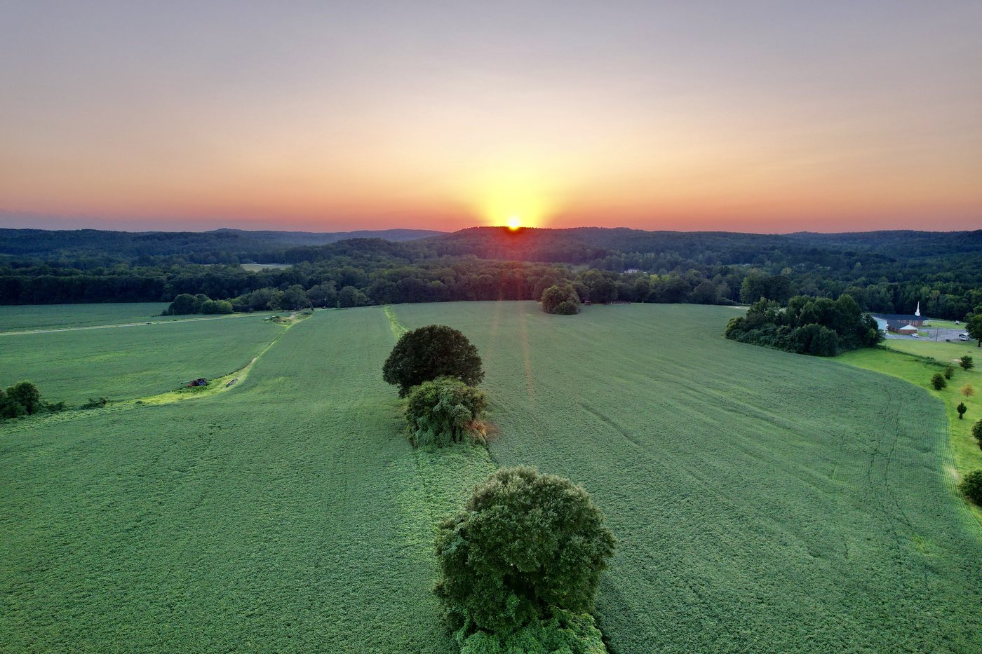
Show acreage, access roads, tree lines, fields, water features, and nearby surroundings in one clear view.
Request land coverage Pikeville Drone Services
Northwest Alabama / Northeast Mississippi
256-212-0026
FAA Certified
Part 107
Pikeville Drone Services
Northwest Alabama / Northeast Mississippi
256-212-0026
FAA Certified
Part 107
Serving Northwest Alabama and Northeast Mississippi with aerial photography, video, property documentation, and commercial or residential project coverage.
Local, licensed, practical
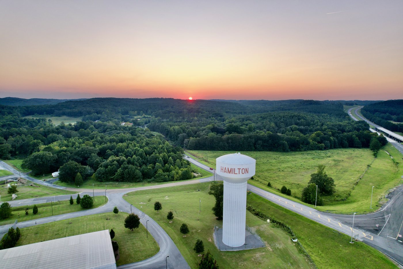
Pikeville Drone Services helps property owners, real estate teams, municipalities, contractors, and event organizers capture the view that ground-level photos miss. Every flight is planned around safety, airspace, weather, and the final use of the footage.
Who we help
Show acreage, access roads, tree lines, fields, water features, and nearby surroundings in one clear view.
Request land coverageAdd listing photos and video that help buyers understand location, scale, and property layout before they arrive.
Ask about the agent specialCapture progress updates, site context, before-and-after views, and documentation for clients or project records.
Plan a progress flightDocument public sites, facilities, events, improvements, and hard-to-see areas with planned, accountable flights.
Discuss a public projectShow the size, layout, and atmosphere of festivals, outdoor gatherings, venue spaces, and local promotions.
Ask about event coverageHow it works
Send the address, project goal, timing, and any special access notes.
We review airspace, weather, site conditions, safety needs, and the best shot list.
The flight is completed, then selected photos or video clips are prepared for delivery.
Your client portal shows notes and Google Drive links for viewing or downloading final files.
Client delivery
Instead of storing final media on this website, Pikeville Drone Services shares finished project files through Google Drive folders or file links. This gives clients a familiar download experience and keeps large photo and video files with a dedicated cloud storage provider.
Returning clients can log in to view project notes, gallery links, delivery links, and invoice links connected to their account.
Open Client LoginService area
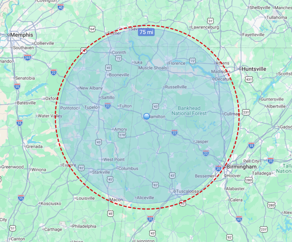
The normal local radius is roughly 75 miles from Hamilton, Alabama, covering much of Northwest Alabama and Northeast Mississippi, with nearby portions of Tennessee and surrounding areas considered by project.
Projects outside the local radius may still be available with travel time and expenses included in the project review.
Booking checklist
Property address, nearest road, event site, or GPS pin if the location is hard to find.
Photos, video, real estate listing, land overview, event coverage, progress update, or inspection-style documentation.
Preferred date, deadline, time of day, and whether weather or sunlight matters for the project.
Gates, parking, property contacts, livestock, construction activity, or anything that affects safe launch and landing.
Quote or flight date request
Choose whether you want a quote first or want to ask about a preferred flight date. Sending this form does not confirm a flight. Every request is reviewed for pricing, weather, airspace, site access, and schedule availability first.
Services
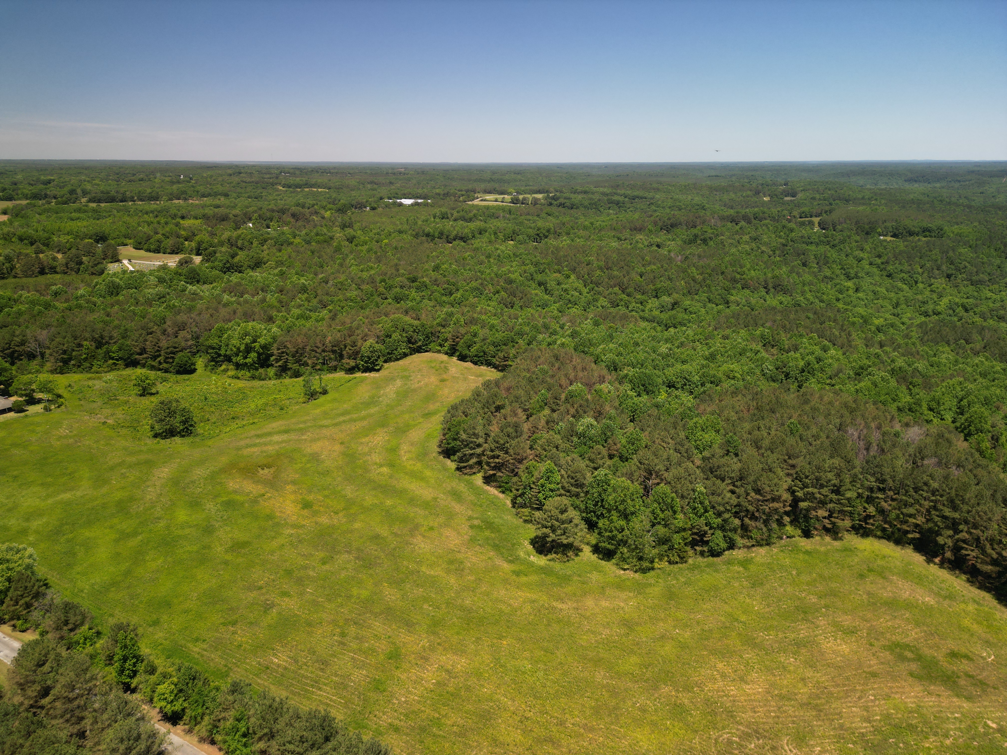
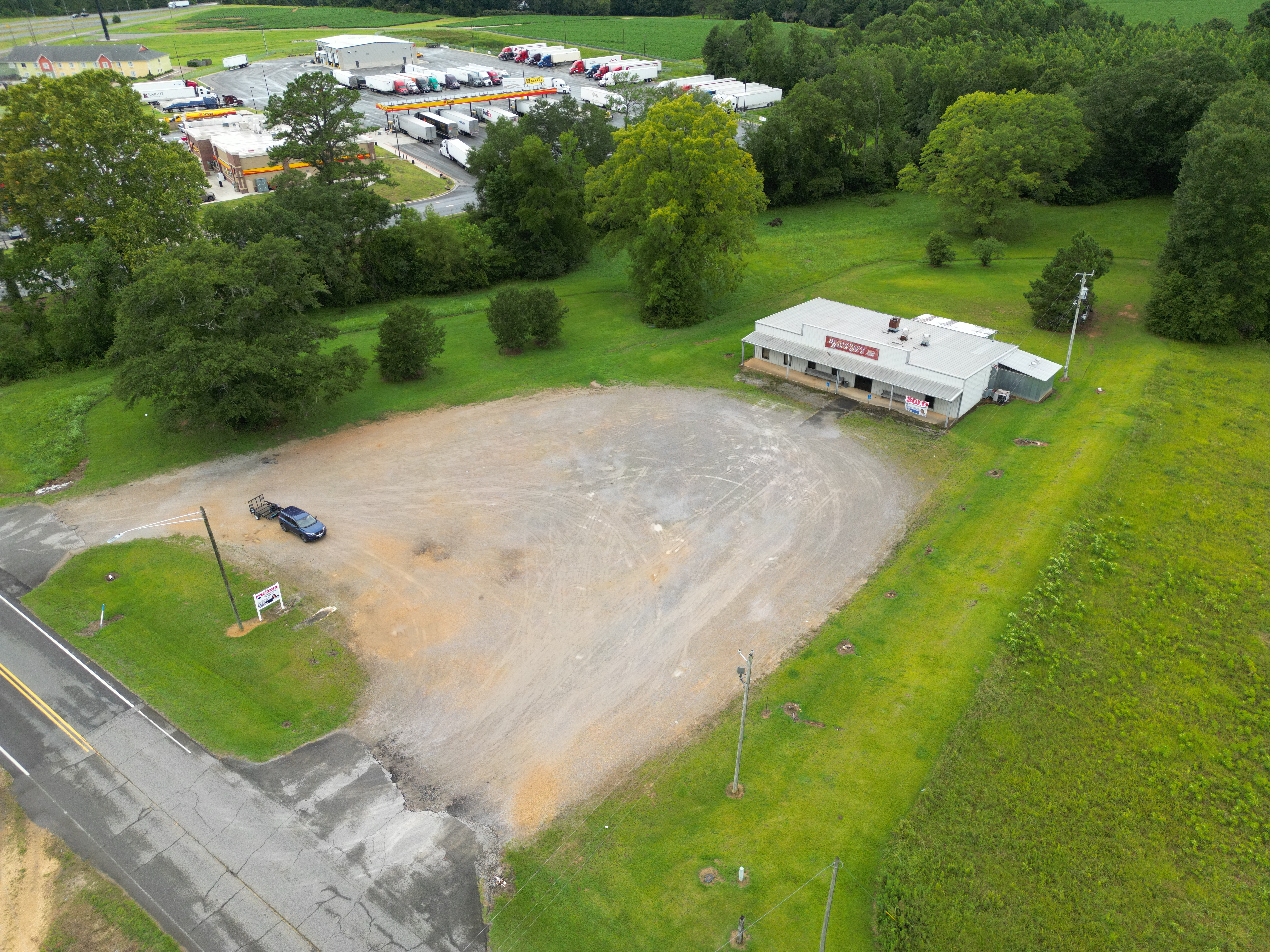
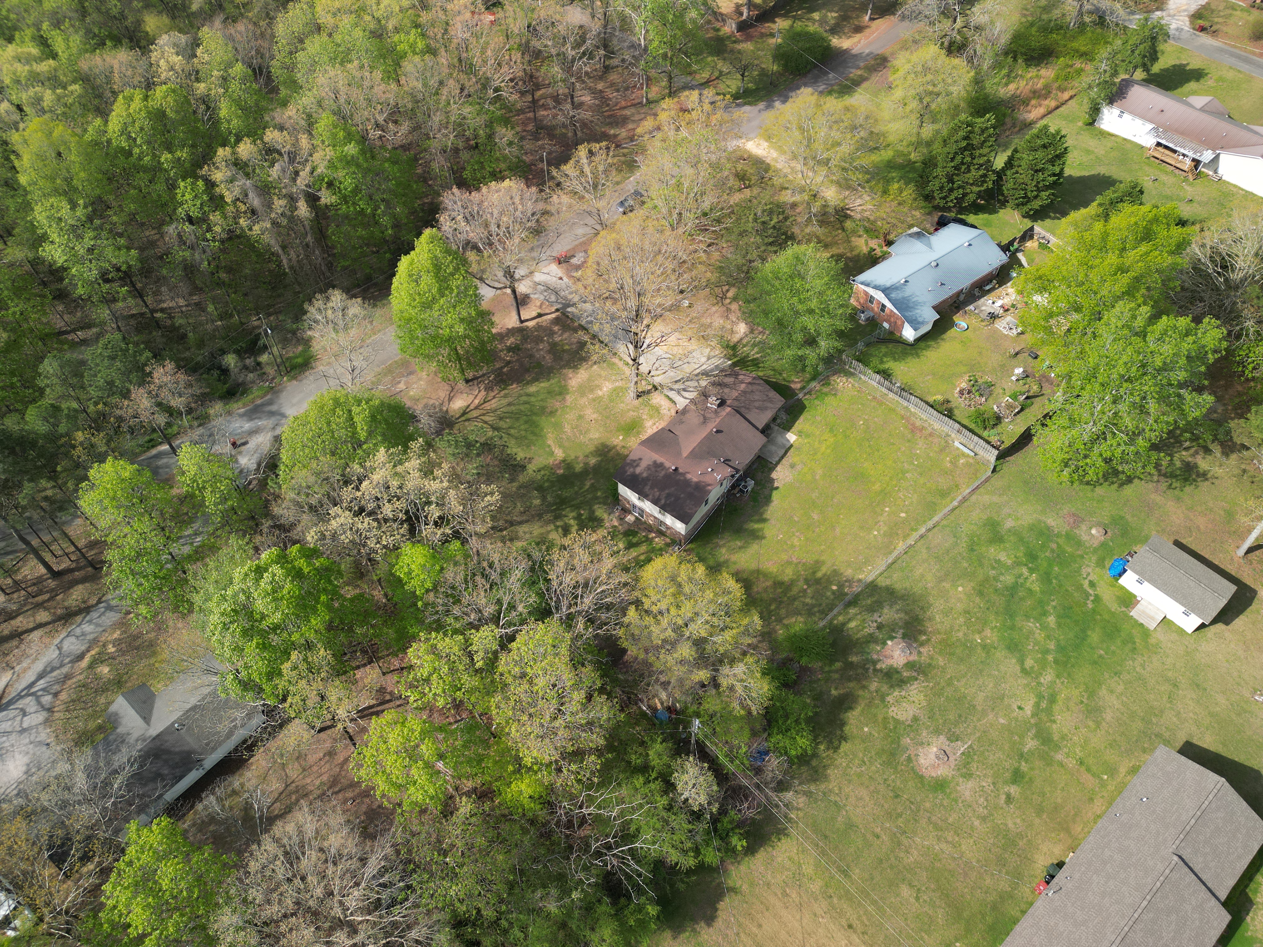
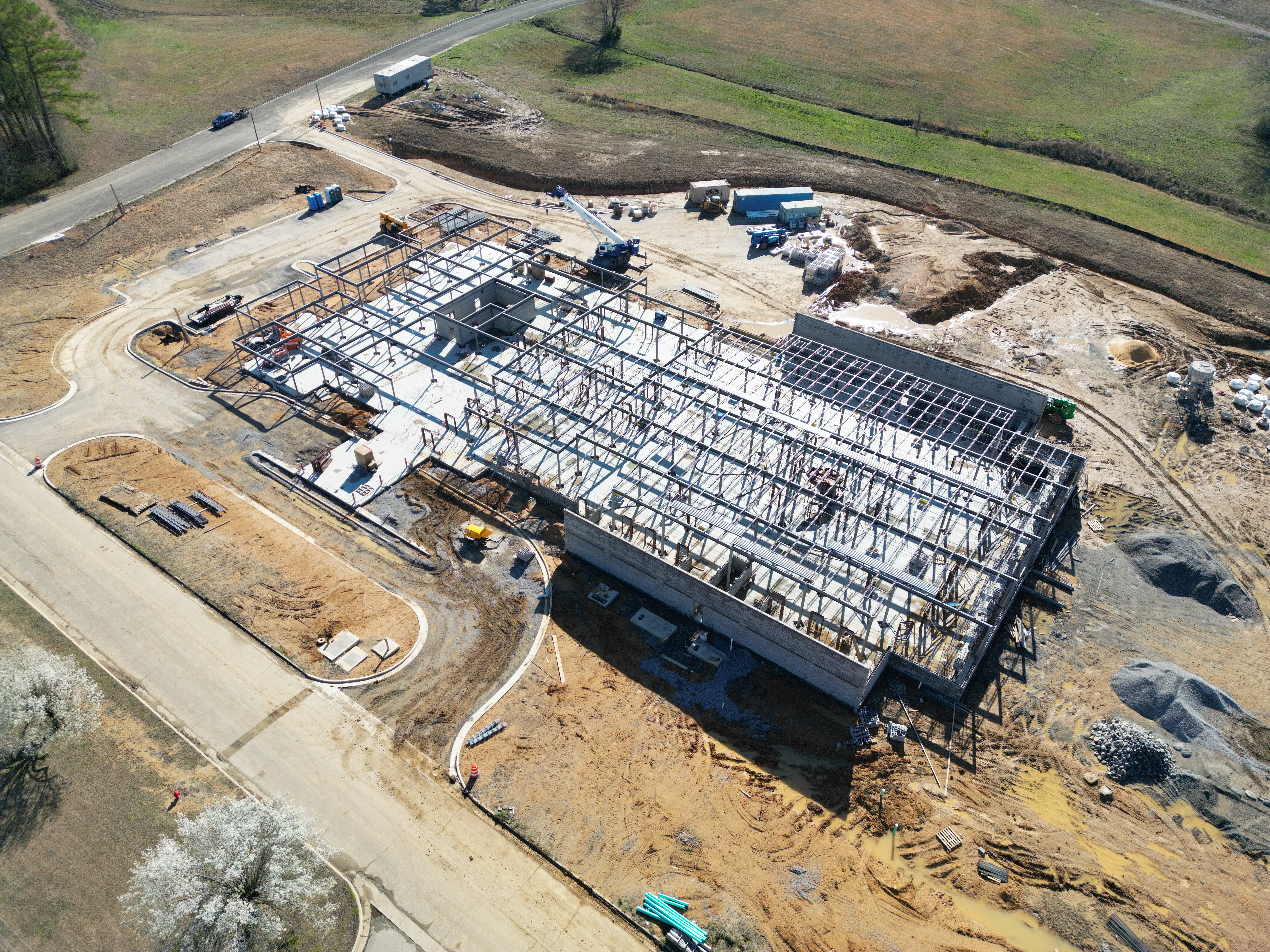
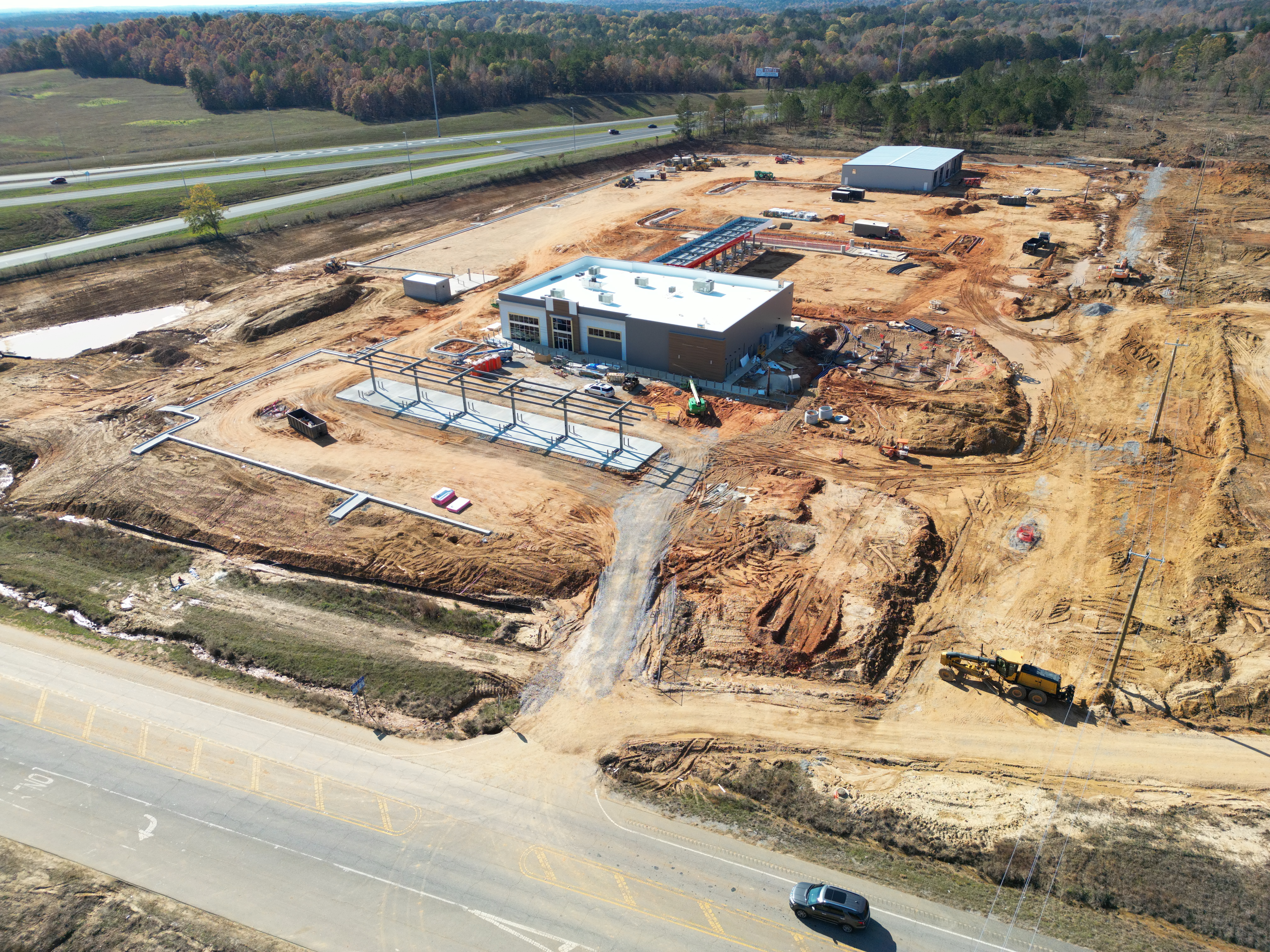
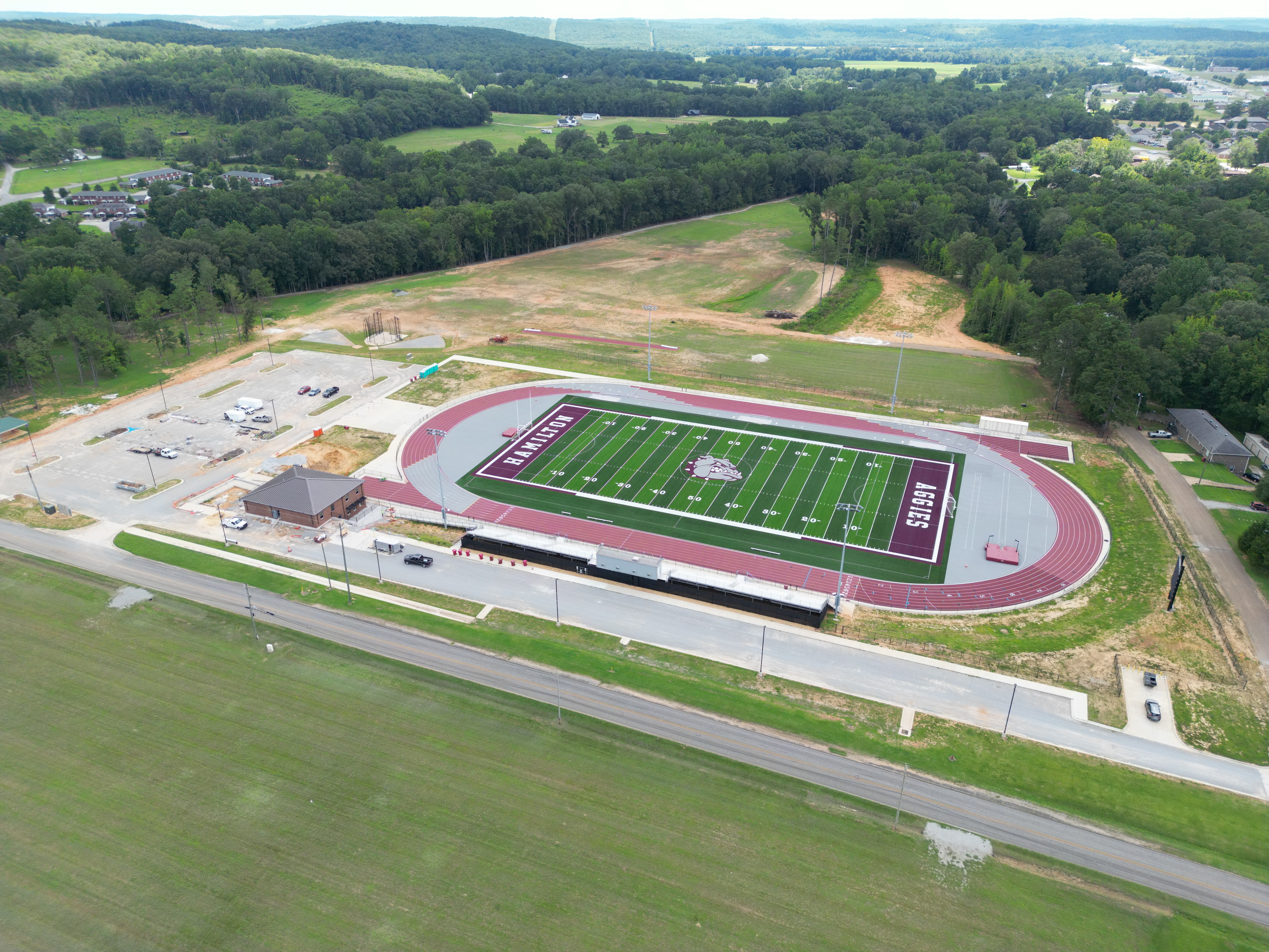
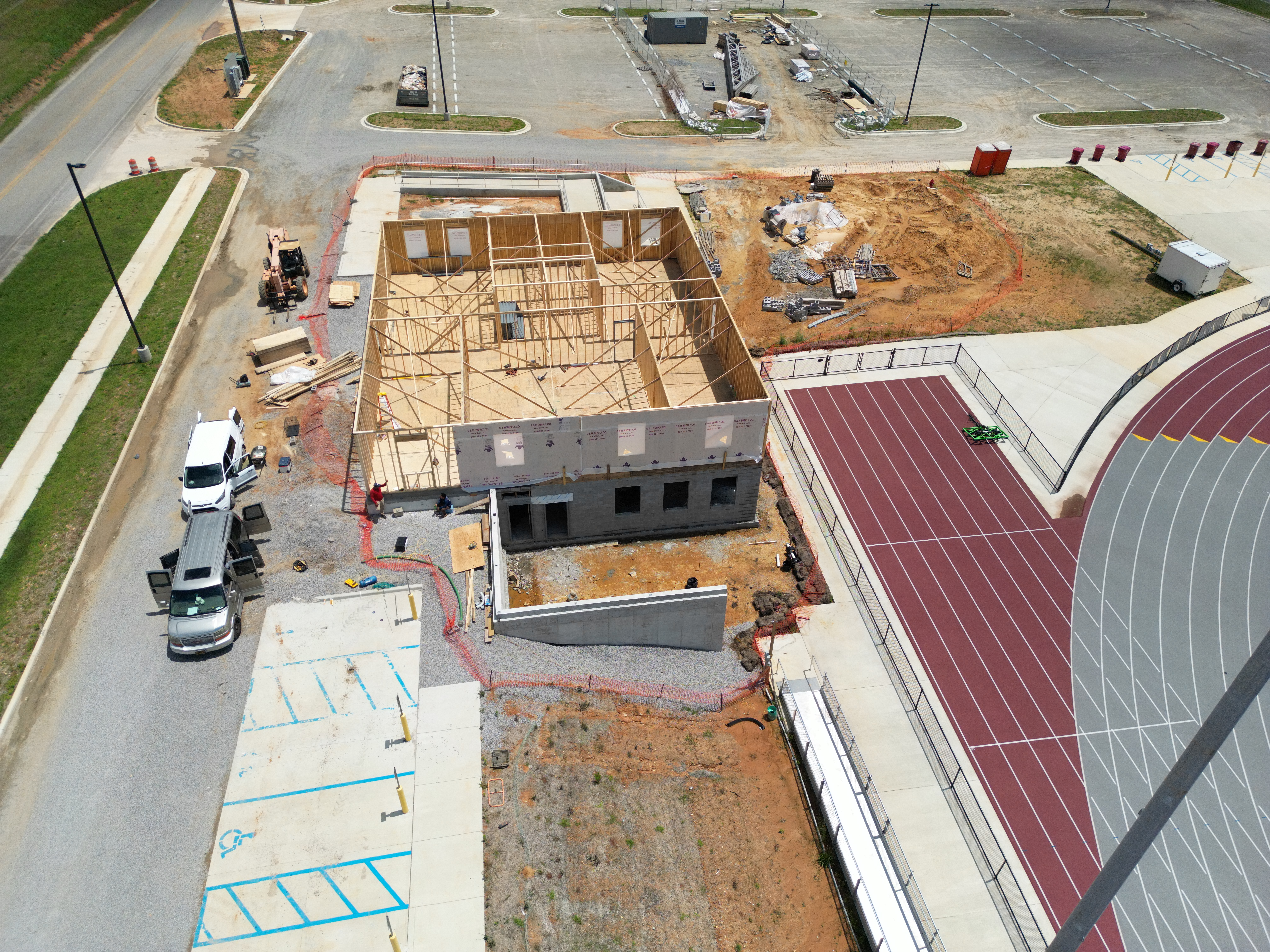
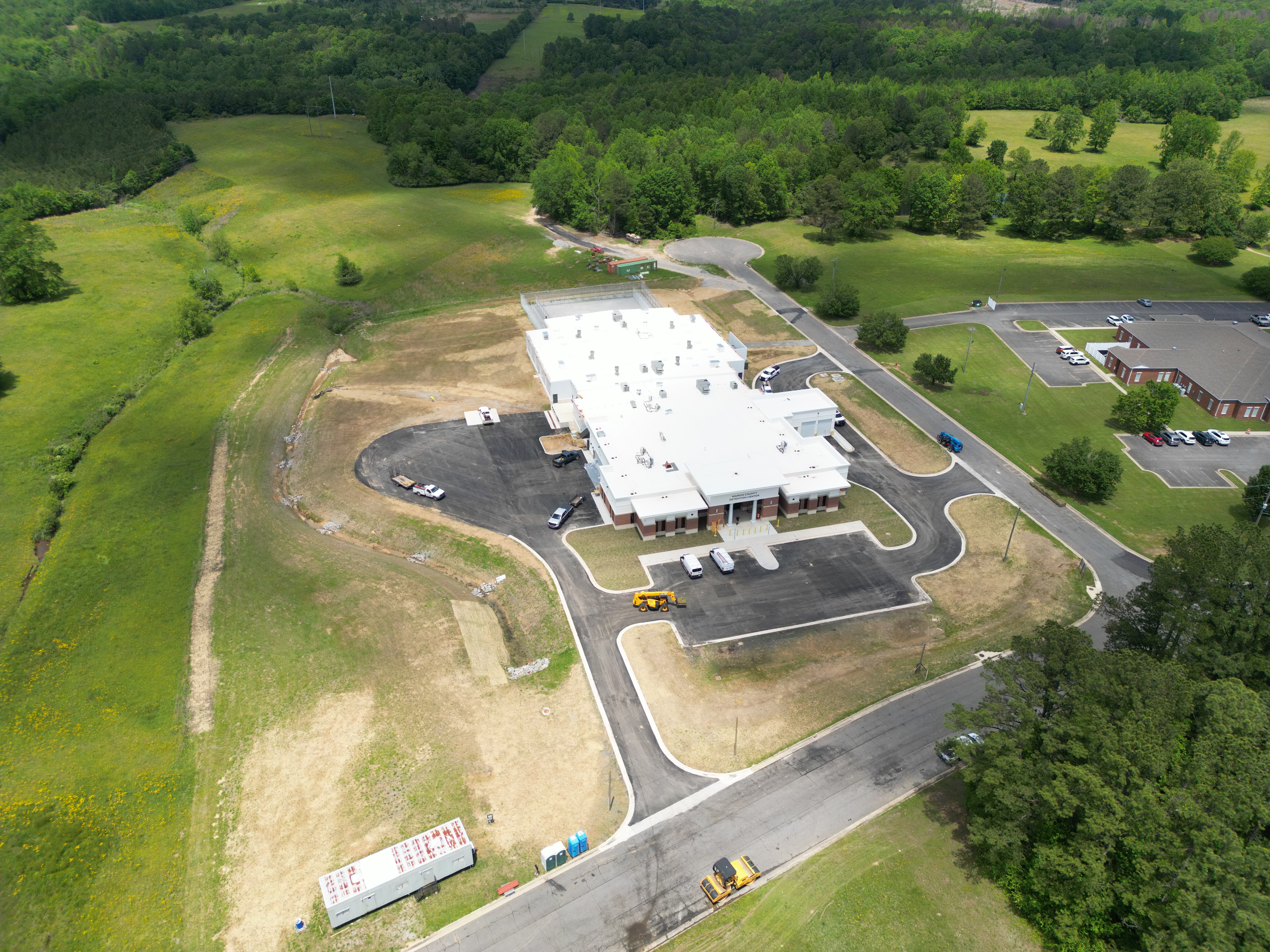
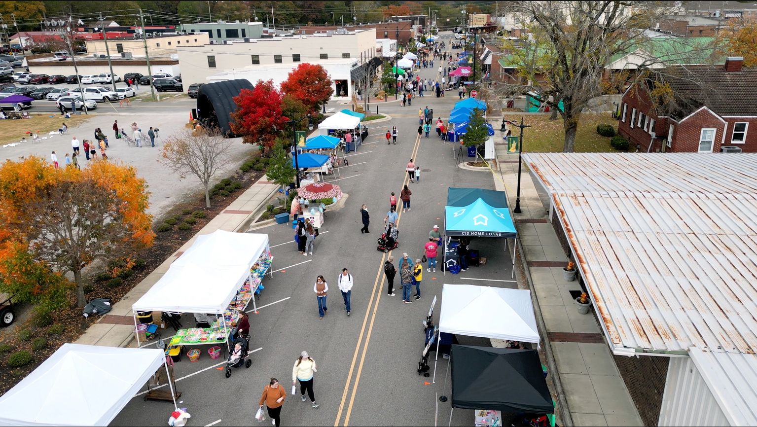
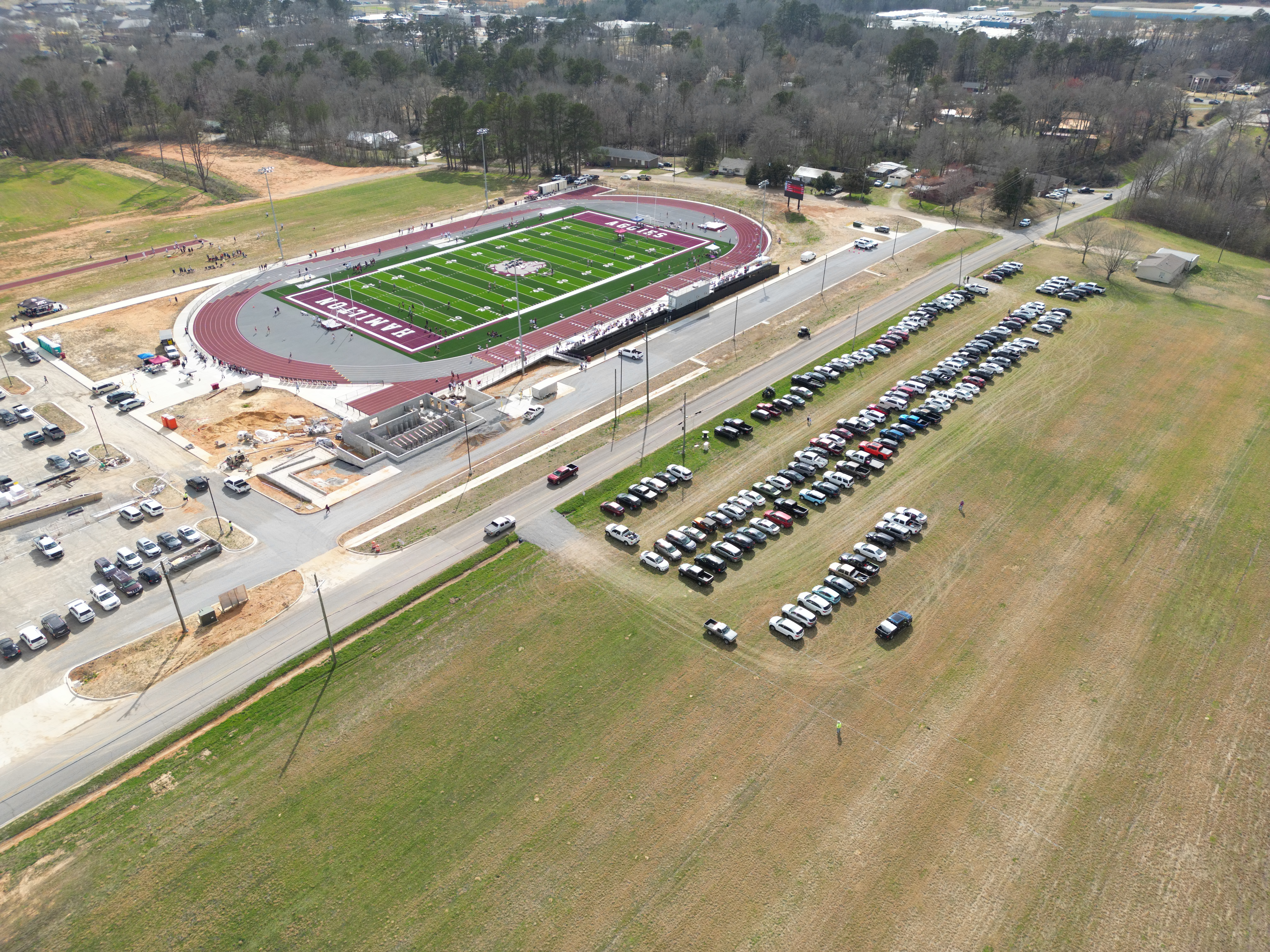
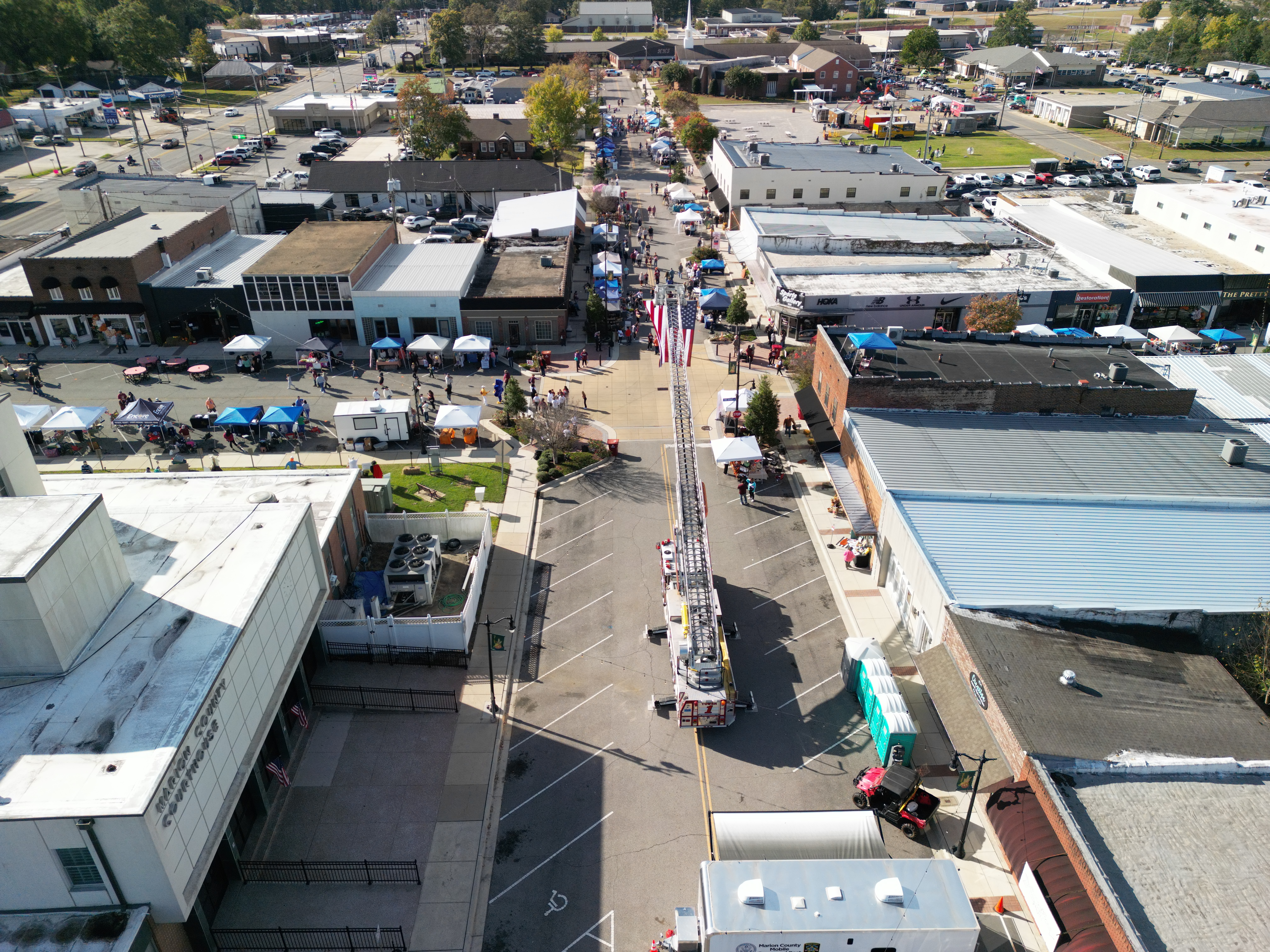
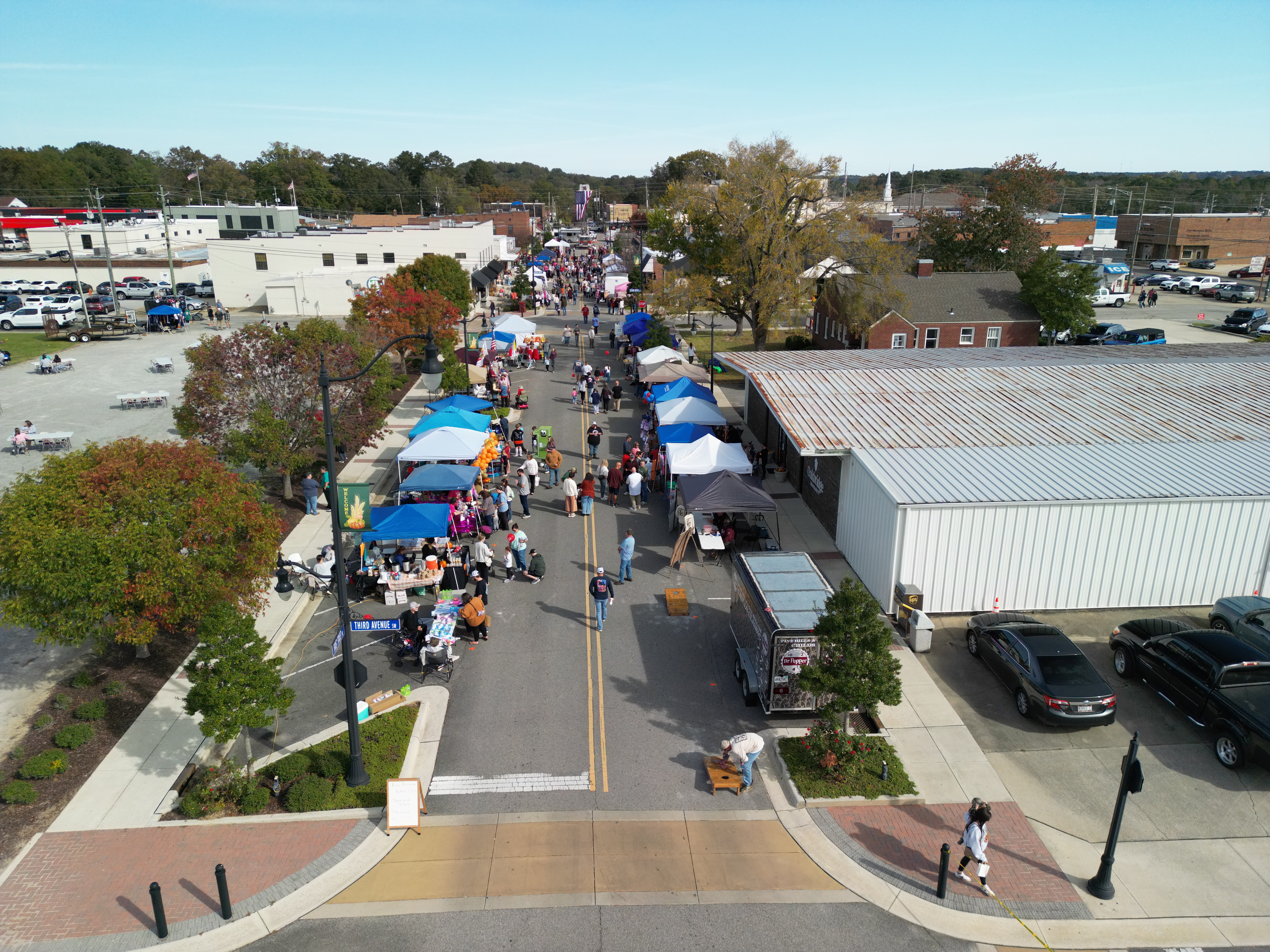
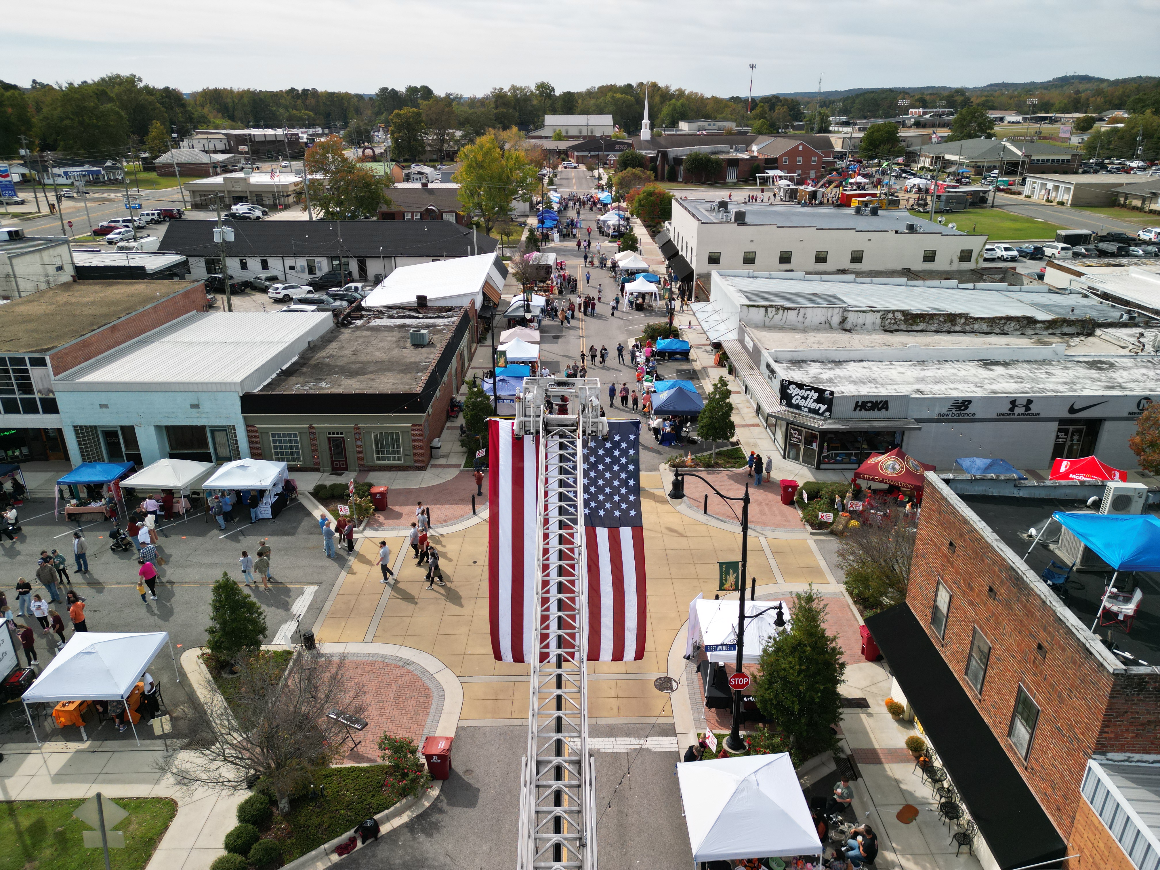
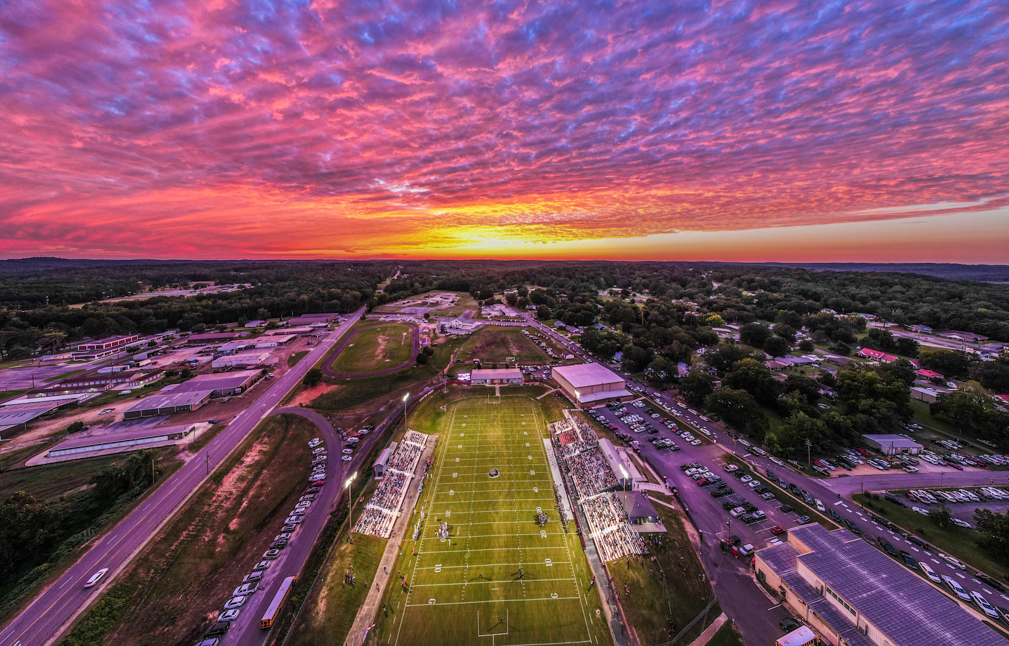
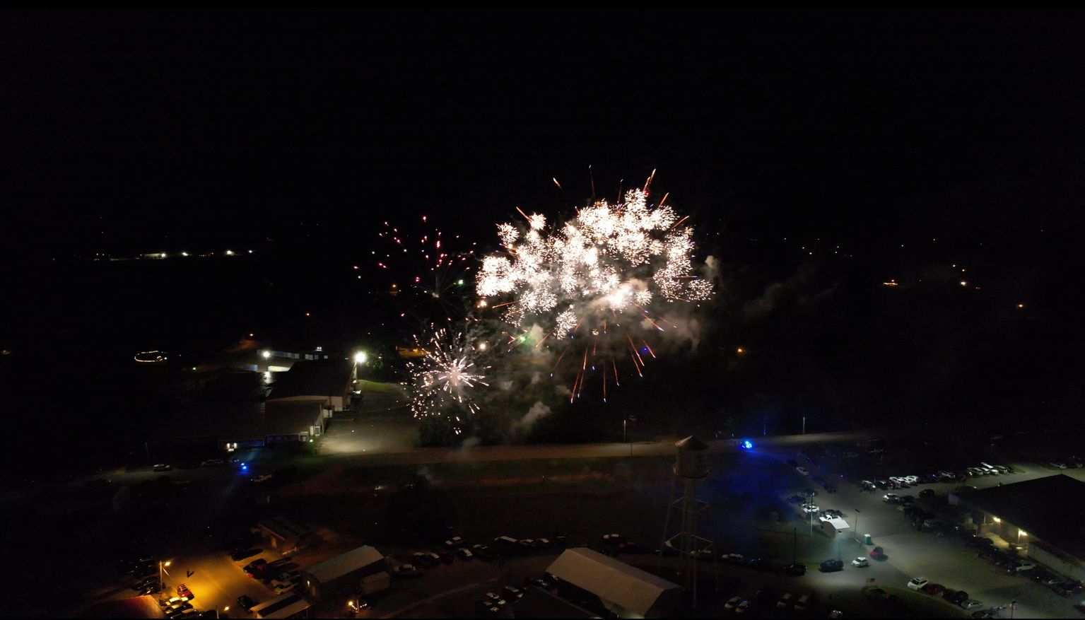
High-resolution stills for real estate, land, commercial properties, tourism, and promotional use.
Smooth cinematic clips, social media-ready vertical footage, event coverage, and project updates.
Clear aerial records for acreage, construction progress, listings, insurance notes, and planning conversations.
Flight planning for homes, businesses, farms, public sites, gatherings, and hard-to-see locations.
Check out our flight records
Why hire a professional pilot
FAA Part 107 certification keeps the work legal and accountable.
Property addresses are reviewed for restrictions, safety concerns, and flight conditions.
An FAA waiver may allow flights over open-air assemblies and moving vehicles where appropriate.
Coverage up to $1,000,000 can be arranged for qualifying projects.
Portfolio
Choose a category to view three example videos from our portfolio.
Wide aerial context for land layout, access, and surrounding features.
Coverage that helps buyers understand entrances, clearings, and terrain.
Clean, steady footage for land listings and planning conversations.
Exterior and surrounding views that support residential listings.
Aerial perspective for location, nearby roads, and surrounding area.
Useful angles for driveways, outbuildings, lots, and improvements.
Commercial property views for documentation, marketing, and planning.
Repeatable aerial views that help track site changes over time.
Short clips for local business promotion and social channels.
Show crowd layout, parking, and the full setting from above.
Smooth movement and scale for festivals, gatherings, and campaigns.
Short-form footage for recaps, announcements, and social media.
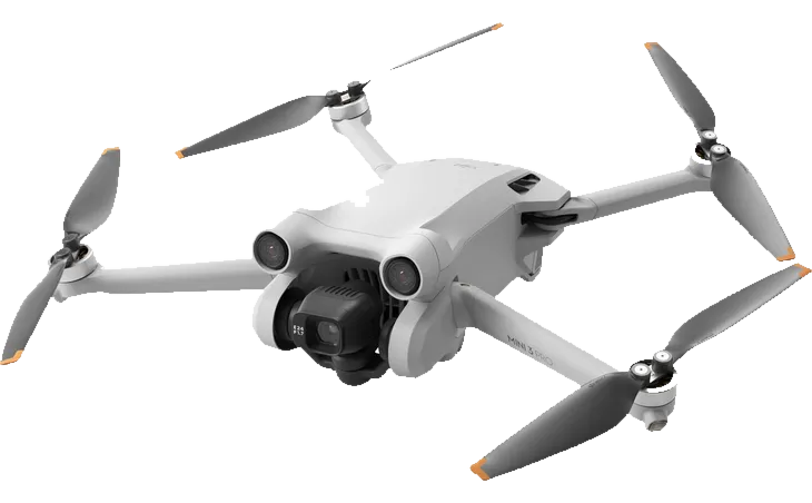
Company sUAS
Compact and flexible for indoor shots, outdoor photography, and vertical social media footage.
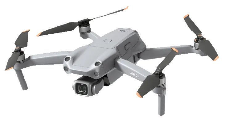
A workhorse platform with 5.4K video, 48 MP photos, and a 1-inch CMOS sensor for detailed aerial coverage.
FAQ

This FAA waiver allows certain flights over open-air assemblies, such as concerts and festivals, and certain operations over moving vehicles. Those flights are still planned carefully around the site, crowd layout, weather, airspace, and safety requirements.
Commercial drone work needs more than a camera in the air. A certified pilot understands FAA rules, airspace checks, weather limits, safe launch areas, and the planning needed to protect the project, the client, and the people nearby.
Pricing is based on a flat fee per property, plus round-trip mileage to and from the property at the 2026 federal business mileage rate of 72.5 cents per mile. Each project is still reviewed individually so the final quote reflects the property, deliverables, schedule, and any special site needs.
 Cash App
 Venmo
Venmo
 PayPal
 Cash
Cash
 Business Check
 Cashier's Check
Pikeville Drone Services is FAA Part 107 certified and can carry $1,000,000 in job insurance. The goal is practical: plan the flight correctly, capture useful photo or video, and deliver files that help you make a listing, project, event, or property easier to understand.
The normal service area covers Northwest Alabama and Northeast Mississippi from near Hamilton, Alabama. Projects outside that area may still be available with travel time and expenses included in the project review.
Social media
Follow the latest flights, clips, and local views.